Explore operational information by location
Maps, markers and filters give distributed assets a shared geographical context.
 Software that works with you.
MOUNTAINOFFICE · 04 / INTERACTIVE SKI AREA MAP
A familiar ski area overview helps staff find their bearings. Configured markers connect locations with assets and their information, turning an area image into an interactive way to explore the operation.
Interactive ski area map
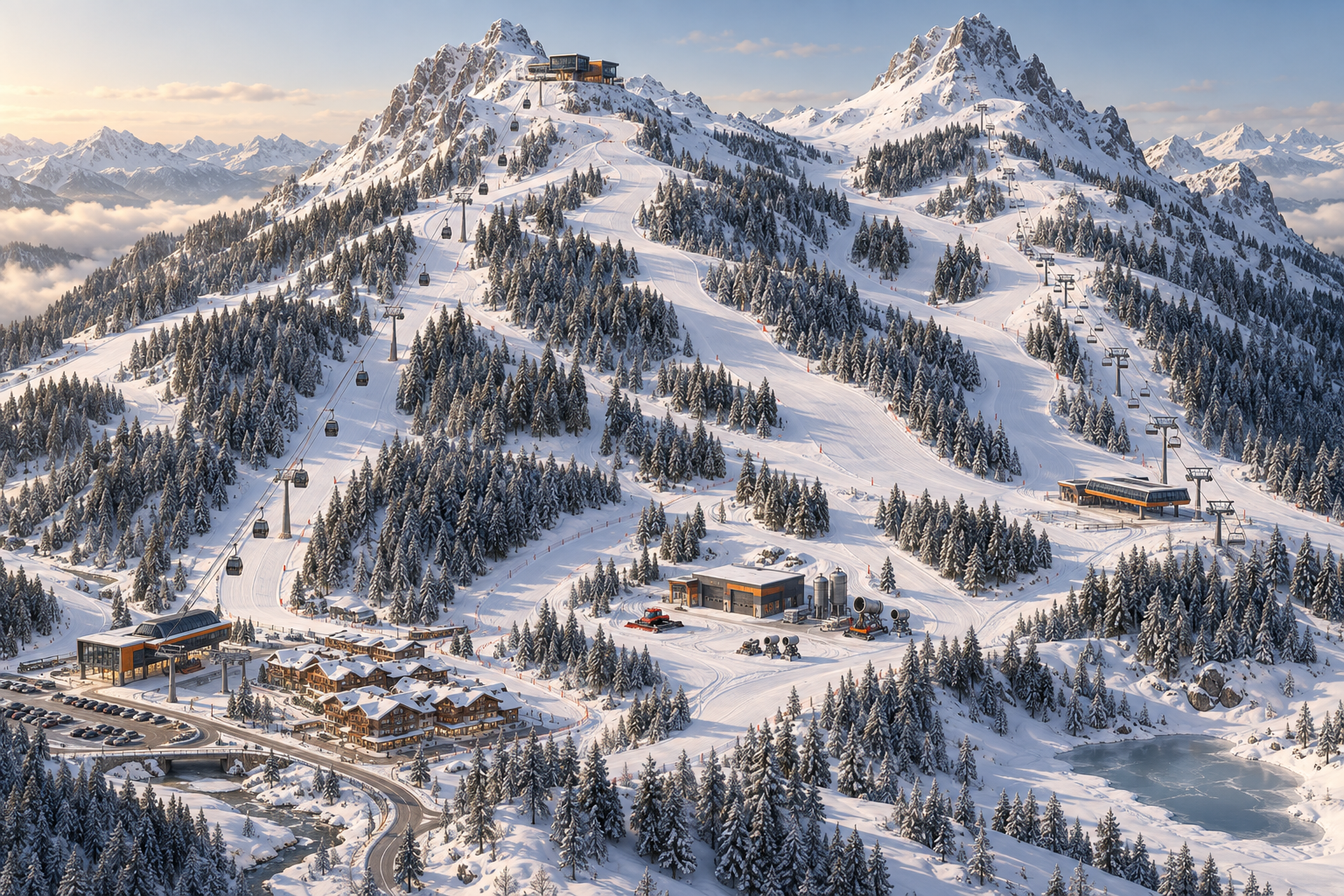
Find the asset on the map.
A CLOSER LOOK
Explore the original views. Select an image to enlarge it. German interface.
Maps, markers and filters give distributed assets a shared geographical context.
Configured markers on your area image lead to asset information. This visual way of navigating also works on the move.
WATCH & UNDERSTAND
A short animated explanation with example data. The three steps above also explain the video in writing.
YOUR OPERATION. YOUR QUESTIONS.
Let’s look at the workflows that matter to your team.